Then here is the pictorial cartoon map I did of the Village of Folsom in 1987. The view is from the north to south. Click on the image for a larger view.

For comparison, here is the third map I did, this one being in 1995. It is viewed from south to north, the orientation most people like to see in a map.

Then, in 2003, I drew another map of Folsom, this one to commemorate its founding a hundred years earlier. The map was drawn after historical research indicated the building layout and special landmarks that existed in 1903.

Below is the fifth map, drawn in 2022

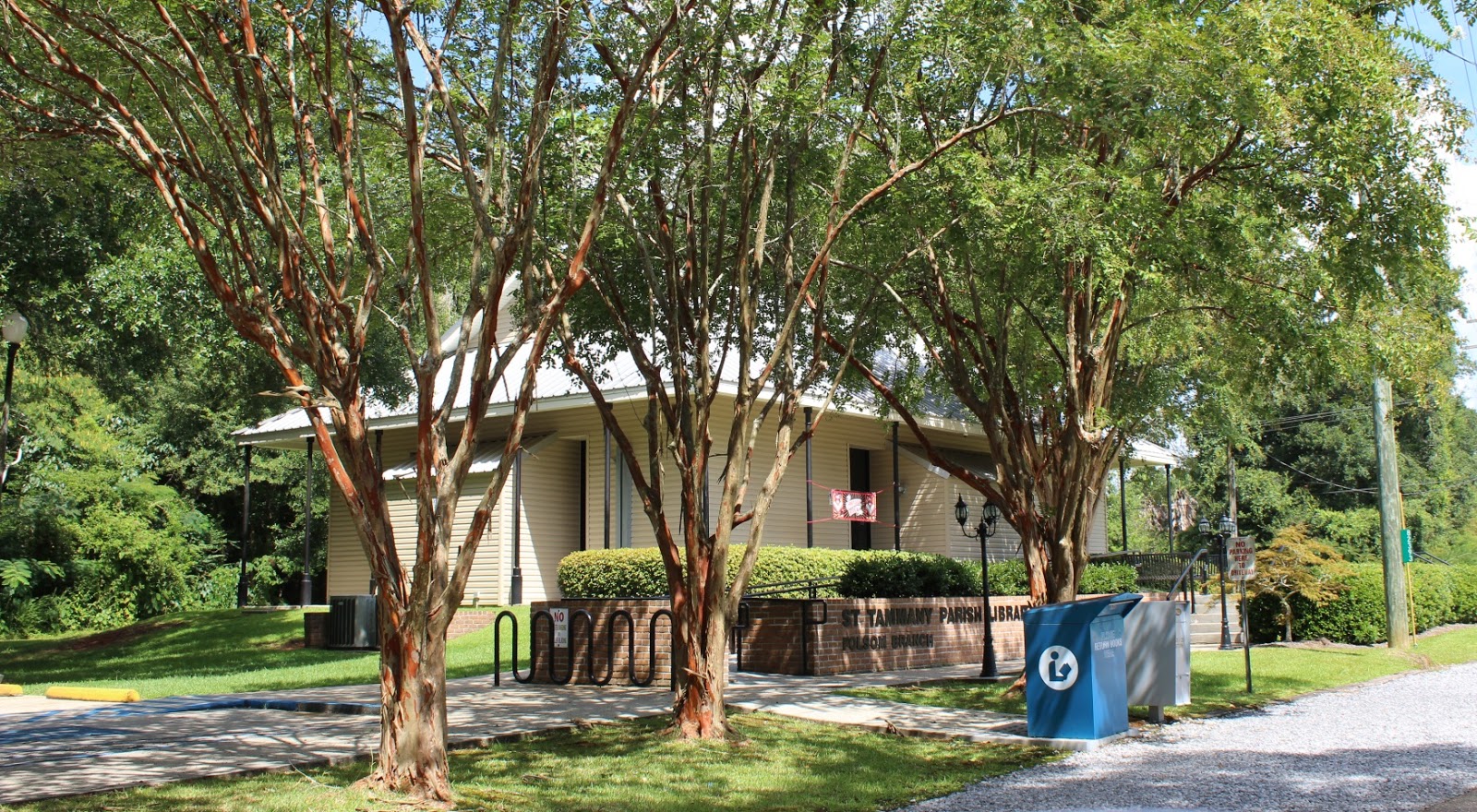
Here are some ground-level photographs of Folsom in 2018.