
Many maps were made of the St. Tammany area in the 1800's, not just military maps, but maps published by newspapers and various map companies from around the world. Here are a few of them. Click on the images to make them larger.

Bayou Lacombe To Bayou Castine

Pearl River Swamp 1800

1803

1820


Close up of 1853 Map showing brick factories along Tchefuncte River


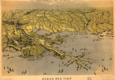
1863
Close Up


