
A map of Covington made in 1935 shows clearly that Lee Road coming in from the north did not stop at where Lockwood St. crossed it, but continued southward and veered back to align with Kemper Street, which was later re-named Lee Lane.
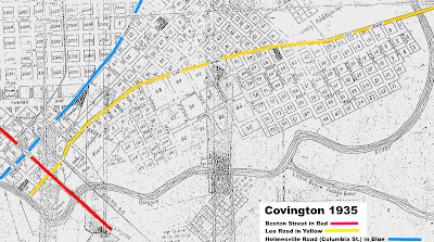
Boston Street is marked in red, Lee Road and Lee Lane are marked in yellow, and Columbia Street is marked in blue. At this point in time, the north end of Columbia Street was still referred to as the "Holmesville Road," since it had been a major trade route to Holmesville, Mississippi.
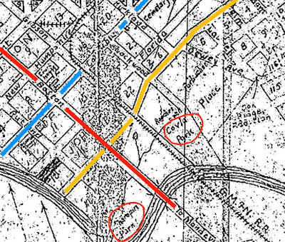
In the early days of Covington, Kemper St. was intersected by Abadie Lane, and Abadie Lane was the main entrance to Covington since it led to the first bridge crossing over the Bogue Falaya River. That bridge crossing was later re-aligned a block southward to Boston Street.
In a close up of the 1935 map, we see that Charropin Park is circled in orange at the south end of Lee Lane (Kemper St.) and "Covla Park" is circled in orange at the north end of Kemper Street, where apartments and Gilsbar are located today.
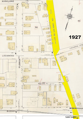
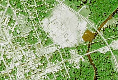
In this 1965 aerial photo, it shows that the two block stretch of Lee Road between Kirkland and Gibson Streets was angled back to meet up with Lee Lane, but it was just a path at that time, with a few houses and lots of trees.
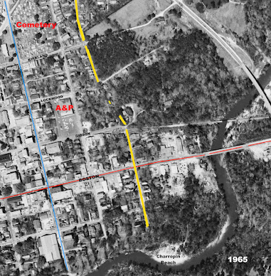
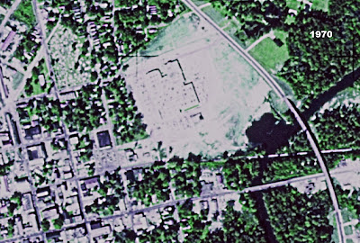
When the Bogue Falaya Plaza Shopping Center was built, Lee Road was at its extreme western edge, and the bottom portion erased the right-of-way between North Lee Road and Lee Lane.


At the end of New Hampshire Street is "City Park," now known as Bogue Falaya Park, and just downriver from there was Ozonia, a rest home retreat on South America Street. At this point in time, Jahncke Avenue passed by St. Paul's College, although early on it was known as Louisiana Street and sometimes "Old Landing Road" since it went on down to the Old Landing.
See also:
Holmesville Road Opens Trade To Madisonville