
After years of steamboats carrying passengers (and automobiles) across Lake Pontchartrain from New Orleans to Mandeville, the dream of building a road around the eastern end of the lake began to materialize.
In 1918, serious efforts were initiated to build a road from Chef Menteur and New Orleans, towards the southeastern portion of St. Tammany Parish. An editorial in the St. Tammany Farmer newspaper of May 11, 1918, stated the following:
The Chef Menteur Road
When St. Tammany does it part, the road from Chef Menteur to Slidell will unite this parish to the New Orleans to the Gulf Coast road, which will give us excellent connections with other points, and the building or the road to Hammond will still further give us good roads connection.
Under the provision of the legislature automobile licenses will be turned into tho Stale road fund and will assist greatly in the construction of roads to which this parish will have access. Survey of the road from the Rigolets to Slidell and from Slidell lo East Pearl River at a point in Mississippi between Napoleon and Logtown is already completed and an approximate cost furnished.

The cost of the road from the Rigolets to Slidell, via the Mayfleld route, will be approximately seventy thousand dollars, and the road from Slidell to the Mississippi lino, including a draw bridge across West Pearl River and half the cost of a drawbridge across East Pearl River will be approximately $250,000.
St. Tammany parish will be a great beneficiary of this road, and its building will be welcomed and assisted as a popular movement.
St. Tammany Farmer Editorial May 11, 1918


After that segment was completed, motorists from New Orleans could reach St. Tammany but had to put their cars on ferry boats (represented by dotted lines on the map below) to cross the Chef Menteur Pass and the Rigolets. There was also a ferry (dotted line) that went from the Chef Menteur Pass through Lake Borgne and up the Pearl River to Pearlington.

The project made additional progress when, in 1924, a portion of the road was built heading for the Gulf Coast from the town of Pearl River in St. Tammany Parish northeastward across the Honey Island swamp to the small Mississippi town of Santa Rosa. That was before there was U.S. Hwy. 90 between Pearlington, Miss., and the Rigolets Pass. Click on the map below to see a larger version.


To get to New Orleans from there, cars had to board the ferry at the Rigolets Pass. A picture of that ferry is below.


The topo map above shows the road built in 1924 heading northeastward out of Pearl River across the Pearl River swamp. In the 1970's Interstate 59 was completed between Pearl River and Picayune, Miss., so U.S. Hwy 11 was re-routed to follow the Interstate 59 corridor. The bridges on the short cut to Santa Rosa were removed and now the old 1924 road is used to access the interior of the wildlife management area.


St. Tammany Farmer Newspaper - Sept. 4, 1926
Original Route Ran Along North Shore of Lake Pontchartrain
The original Old Spanish Trail traverses the southern border of St. Tammany Parish. As this famous old trail is now modernly laid out, it diverges from Slidell southeasterly and crosses the Rigolets and Chef Menteur and thence into New Orleans, where it crosses the Mississippi River and goes on westward through Houma and Morgan City.
This route, however, is not the original route of the early pioneers through this section. Indeed, at the time the old trail was made it would have been impossible to have gone through the swamps just south of Slidell and below Lake Pontchartrain into New Orleans.
Instead, the route of the original trail lay just along the first high ground north of Lake Pontchartrain. It entered St. Tammany, as near as can be ascertained, at Pearl River at a point where Indian Village now stands.
It ran westward from there crossing Bayou Lacombe at a point near where Lacombe is now located, thence to Mandeville, through the Indian village of Chinchuba and across to Madisonville, thence west to Springfield, through the territory where Ponchatoula is now located, and from Springfield, southwesterly to Donaldsonville, where it crossed the Mississippi River.
Meandering along Bayou Lafourche to a point about Thibodeaux, it struck westerly thru the swamps and crossed the Atchafalaya at Morgan City.
In the early days, travelers over land from the east who desired to get to New Orleans took this trail to Mandeville or Madisonville and then went by sail boat across Lake Pontchartrain or continued to the Mississippi River and took passage by flat boat down the Mississippi. The route across Lake Pontchartrain was the most favored.
If the present day tourist desires to go over the original Spanish Trail in this section as nearly as possible, he should enter the present trail over the Pearl River and continue same to Slidell, thence take the present modern highway through Bonfouca, Hygeia, Lacombe, Mandeville, Chinchuba, thence the hard surfaced road directly to Madisonville, and then straight to Pontchatoula, Springfield, and then over the road to Hope Villa, and then along the Jefferson Highway to Darrow and cross the Mississippi River at that point to Donaldsonville.


In 1933, a new shorter route was created when bridges were built over the East Pearl River, the Middle Pearl and the West Pearl River, and a highway (the future U.S. 90) was completed between Pearlington and the Rigolets. When that was finished, the connecting road between the Town of Pearl River and Santa Rosa was no longer the Gateway to Louisiana and thus some 22 miles were knocked off the journey to New Orleans.


The topographic quad in 1936


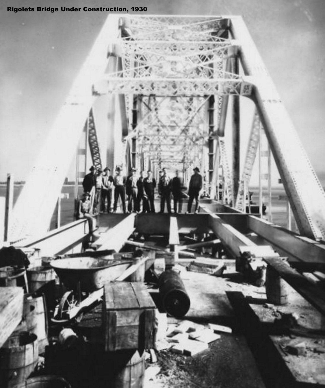
The old Rigolets bridge was replaced in 2008 with a long sweeping high-elevation bridge. CLICK HERE for more information.

Photo: Massman Construction
Below is a picture of the new bridge.

The roadway between Logtown and Gainesville was later absorbed into the Stennis Space Center buffer zone and residents in the area were moved to another location.
