Click on the images to make them larger.

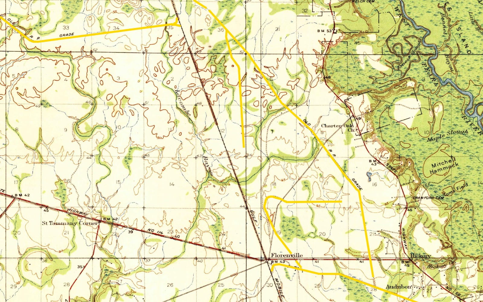
Dummyline Road near Madisonville parallels the old roadbed of the railroad that for a while runs alongside Brady Island Drive. The old railroad grade is marked in yellow. The above map is from a 1935 USGS Topographical Map.

Terminus of the Uneedus-Madisonville dummyline railroad, off west bank of Tchefuncte River, across from Fairview Riverside State Park. The train came out into the river by 50 feet or more. There was a dock on the down river side.
According to Iris Lulu-Simoneaux Vacante with the Madisonville Museum, it was on February 9, 1895, that Frederick and Alfred Gitz signed a grant of railroad right of way to W.T. Jay on their farm located on Dummyline Rd. to Brewster Road to make way for a railroad "Dummyline" to haul timber. Pictured below are workers of Jay's Saw Mill loading up lumber and hauling it on a Dummyline. The tracks can be seen in the background.


North of Slidell, near Charter Oak and Hickory, there were numerous short run dummy line railroad tracks that ran into the logging areas and gravel pit loading areas.