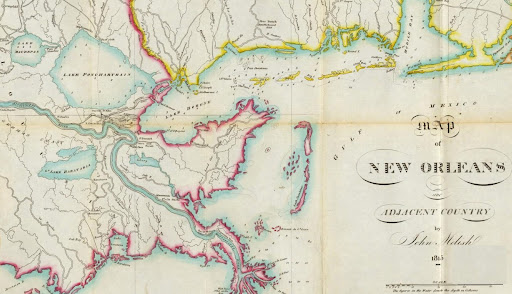
This map shows southeast Louisiana in 1815. Produced by John Melish, it covers New Orleans and vicinity, with Madisonville and Post Oak prominently labelled in St. Tammany Parish, which had only been officially named as a parish just five years earlier, in 1810.
Click on the images to make them larger.


