Friday, December 17, 2021

Christmas Concert at the Trailhead

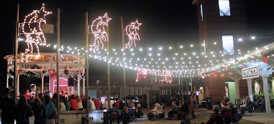
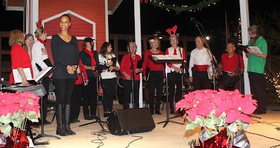
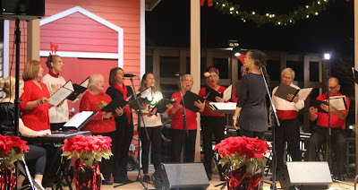
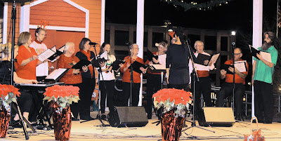
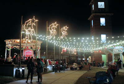
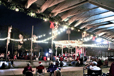
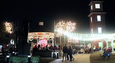
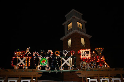
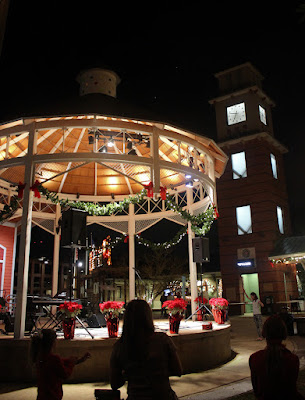
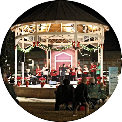
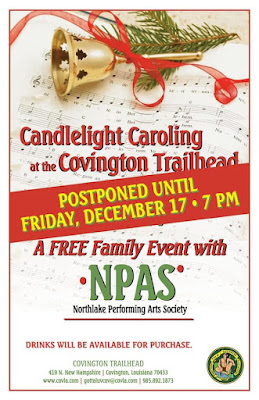
 A special holiday concert featuring "Candlelight Caroling" was held Friday night, Dec. 17, 2021, at the Covington Trailhead. The Northlake Performing Arts Society provided the carolers, and more than 100 people and youngsters turned out for the event.

Here are some photographs. Click on the images to make them larger. 


See also:

The Northlake Performing Arts Society 

NPAS Singers Present Caroling Concert in Slidell 

Caroling on Lee Lane

NPAS Group Sings Motown

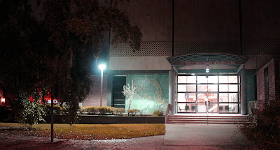
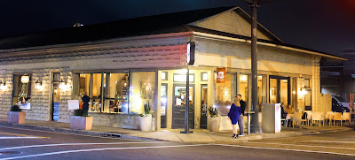
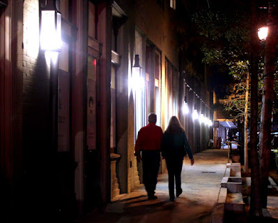
While I was downtown I took several other pictures along Boston Street. Here are those photographs.


The old courthouse


DelPorto Restaurant 

 
Southern Hotel


Thursday, December 9, 2021

100 Years Ago December 10, 2021

What was going on 100 years ago this week? CLICK HERE for a link to the St. Tammany Farmer Issue of  December 10, 1921. The link is provided by the Library of Congress and its Chronicling America service.

Click on the sample images below to see larger versions.

Society News

 
Dendinger Mercantile, Madisonville


Tri-Parish Medical Society Formed


Slidell Society

 
Slidell Stores Ad


Tuesday, December 7, 2021

The Lee Road Alignment

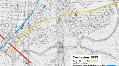
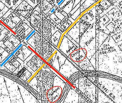
 A map of Covington made in 1935 shows clearly that Lee Road coming in from the north did not stop at where Lockwood St. crossed it, but continued southward and veered back to align with Kemper Street, which was later re-named Lee Lane. 

 
Click on the images to make them larger. 

Boston Street is marked in red, Lee Road and Lee Lane are marked in yellow, and Columbia Street is marked in blue. At this point in time, the north end of Columbia Street was still referred to as the "Holmesville Road," since it had been a major trade route to Holmesville, Mississippi.

 In the early days of Covington, Kemper St. was intersected by Abadie Lane, and Abadie Lane was the main entrance to Covington since it led to the first bridge crossing over the Bogue Falaya River. That bridge crossing was later re-aligned a block southward to Boston Street. 

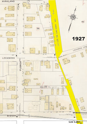
In this 1927 map, Lee Road's right-of-way is shown in the one block between Lockwood and Gibson Streets. It looks like at that time, the right-of-way to connect up to today's Lee Lane was getting narrower. 

In a close up of the 1935 map, we see that Charropin Park is circled in orange at the south end of Lee Lane (Kemper St.) and "Covla Park" is circled in orange at the north end of Kemper Street, where apartments and Gilsbar are located today. 

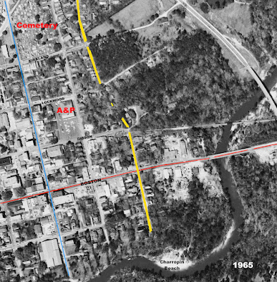
In this 1965 aerial photo, it shows that the two block stretch of Lee Road between Kirkland and Gibson Streets was angled back to meet up with Lee Lane, but it was just a path at that time, with a few houses and lots of trees. 


When the Bogue Falaya Plaza Shopping Center was built,  Lee Road was at its extreme western edge, and the bottom portion erased the right-of-way between North Lee Road and Lee Lane.

 
1969 Aerial Photo of Bogue Falaya Plaza footprint and building
 
 
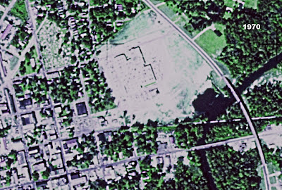
1970 Aerial Photo of Bogue Falaya Plaza footprint and building 
 
 
Eventually the Otasco's Auto Store was built right across the Lee Lane right-of-way. 


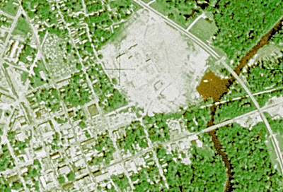
A 2020 aerial view of the missing section of Lee Road/Lee Lane 

The interesting thing about the remaining fragments of Lee Road in Covington between Lockwood Street and Gibson Street is that when you are going to the drive up window of Abita Roasting Company, you are on the same route traveled over the past 200 years by thousands of farmers and visitors from upper Washington Parish to the riverport on the Bogue Falaya River in Covington.

For a complete view of the entire 1935 Covington map, CLICK HERE.
 
Here's the section of the 1935 map that shows the Bogue Falaya River and the streets from downtown (at right) down to St. Paul's Campus (at upper left). 
 

 At the end of New Hampshire Street is "City Park," now known as Bogue Falaya Park, and just downriver from there was Ozonia, a rest home retreat on South America Street. At this point in time, Jahncke Avenue passed by St. Paul's College, although early on it was known as Louisiana Street and sometimes "Old Landing Road" since it went on down to the Old Landing.


See also:

Lee Ferry Road 

Map Memos From 1909 

Holmesville Road Opens Trade To Madisonville 

Bogue Falaya Shopping Plaza

Downtown Covington - 1915  

 
Thanks goes to Jack Terry for his work on early Covington maps and the 1935 map shown above. 

Sunday, December 5, 2021

History & Holly Home Tour Held

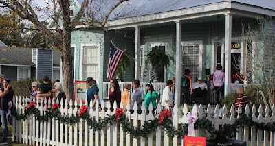
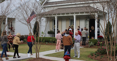
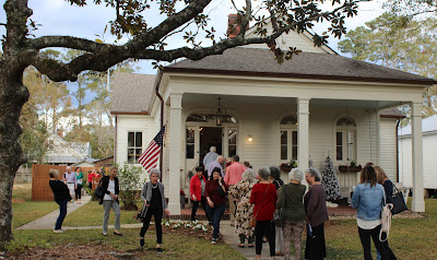
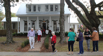
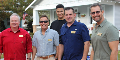
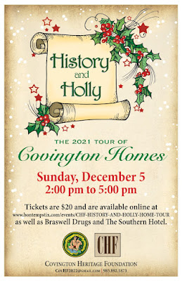
 A large number of Covington residents as well as visitors from out of town turned out to take part in the 2021 "History and Holly" Home Tour hosted by the Covington Heritage Foundation. 

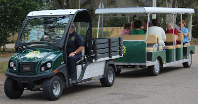
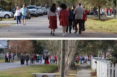
Several homes on 22nd and 23rd Avenues between Jefferson Avenue and Tyler Street were on the tour, including the home of the mayor. Tour participants took advantage of the beautiful weather to walk the oak-shaded streets from home to home. An open air tram was available for those who enjoyed riding.
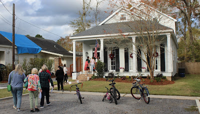
Here are some photographs. Click on the images to make them larger. 

 
Large groups walked down the streets and into the tour homes


A handy tram was on hand 

 
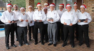
The Knights of Columbus Northshore choir offered holiday songs

 
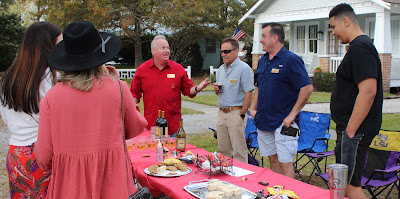
Refreshments were also made available


See also:

History and Holly Home Tour 2019  

History and Holly Home Tour Held 

Home Tour in Covington

History and Holly Home Tour 2017  


The Lee Lane Book Latest Draft

 The preliminary draft of my book about Lee Lane has been sent to the printer for a hard copy to take a look it. It contains many pictures of Lee Lane businesses over the years, and I thought it would be a great project to put all those pictures into a book, along with the history of the unique two-block shopping area. And it's quite historic in its own right, being an integral part of Covington as well as the location of some great restaurants.

To download and read the PDF version of the preliminary draft "Lee Lane Legacy,"
CLICK HERE.

To make comments on what needs to be added to the book, send an email to 
tammanyfamilyblog@gmail.com 


Saturday, December 4, 2021

Giddy Up Concert, Art Show and Sunset

 An entertaining concert, art show and sunset greeted visitors to the Giddy Up coffee house in Folsom Friday night. Music concerts are a regular event for the establishment, and the art exhibit opening at the Far Horizons Art Gallery next door drew a number of artists and art enthusiasts as well. Here are some photographs.

 
 Click on the images to make them larger. 


The Giddy Up Coffee House


Art Gallery Exhibit

 
The Far Horizons Art Gallery


Several artists were on hand showing their handiwork 


Ben Bensen III created artwork as the event was ongoing
 
 
Inside the Giddy Up was jazz by Dr. Ben Redwine and Company

 
The outdoor music concert was paused at one point and the audience members were asked to stand up, turn around, and witness the glorious sunset that was taking place in the western sky. 

Also on the agenda that night was the unveiling of the long-awaited renovation of the old library building behind the Giddy Up. For more information on the visitors to the restoration of "Aunt Decie's Library," click on the link below. 

Old Folsom Library Building Celebrated